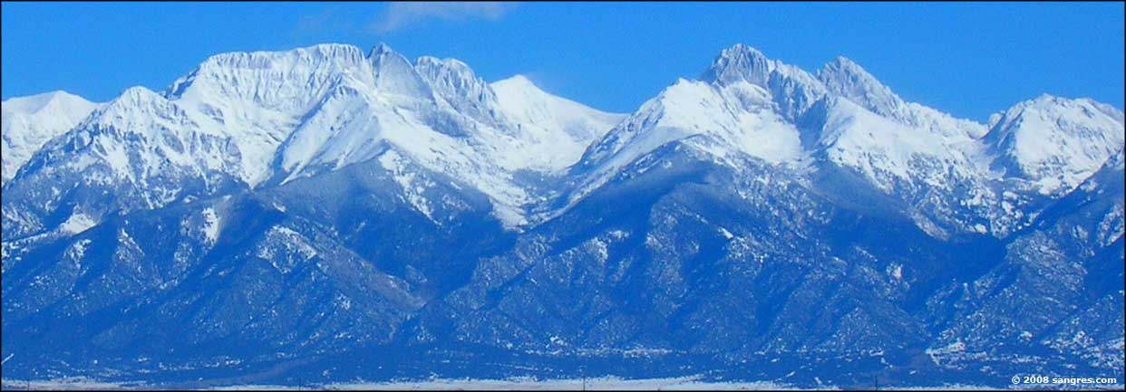
Getting to activites in the valley generally takes 4hr from Denver. Different activites can be 0.5-2.0hr from each other within the valley.
Travelling into the valley from Denver can be accomplished coming in from the north using the mountain 285 route or go south using the interstate via I25 and then west 160. The mountain route is often shorter and more enjoyable but can be clogged to a standstill, especially on a Sunday. The I25 route is longer and involves the worst driving in CO but is realible in weather and holiday traffic.
Here is a list of travel times:
Denver (via Salida on 285)
- Salida: 2.5hr 142 miles
- Moffat: 3.2hr 181 miles
- Saguache: 3.2hr 182 miles
- La Garita: 3.5hr 205 miles
- Crestone: 3.5hr 194 miles
- Sand Dunes: 3.8hr 223 miles
- Alamosa: 3.7hr 218 miles
- Del Norte:
Denver (via Walsenburg on I25+160)
- Walsenburg: 2.4hr 163 miles
- Fort Garland: 3.2hr 210 miles
- Sand Dunes: 3.5hr 237 miles
- Alamosa: 3.5hr 235 miles
- Del Norte:
Crestone
Del Norte'
Camping:
- North Crestone Creek Campground
- Dispersed
Hiking:
- Start ~8500 ft
- Willow Creek Trailhead
- Willow Lake (11,500) 10.2 miles 5.5hrs
- Kit Carlson (14,174) 12.3 miles 8hrs
- Comanche Trailhead
- North Crestone Creek (11,815) 11.3 miles 6hr [Lake]
- North Fork Trail (~12000) ~11 miles 6hr [Peaks]
Buddhist Sites:
- Sangdo Palri Temple of Wisdom and Compassion
- Yeshe Rangsal Stupa
- Tashi Gomang Stupa
- Crestone Mountain Zen Center
TODO Pic 4wd backcamping
TODO Pic Ellingwood point
National Park:
https://www.nps.gov/grsa/index.htm
Entrance Fees:
- Non-Commercial Vehicle and Occupants - $25.00
- Passenger vehicle with all occupants
- fee valid for 7 days.
- Oversized Vehicle, 15+ passengers, age 16+ - $15.00
- Per passenger, 16 years and older in oversized vehicle, including 15 passenger vans, small buses, etc.
- Valid for 7 days.
- Passengers under 16 are free.
- Motorcycle and Riders - $20.00
- One motorcycle and all its riders; valid for 7 days.
Visiting Center Hours: 9:00 AM - 4:30 PM
Camping:
- Visit from Crestone campsite (1hr one way)
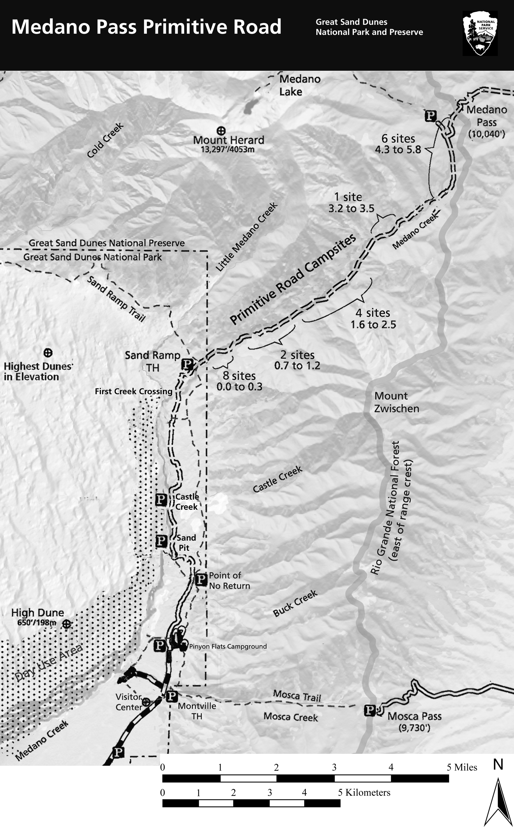
- Medano Creek Dispersed (4WD)
- 21 Sites
- 4x4 Required (~20-30 min one way to shuttle)
- https://www.nps.gov/grsa/planyourvisit/medano-pass-road.htm
- Zapata Falls Campground
- ~20 min from Dunes
- Popular but may have a space available
Hiking:
- Start ~7800 ft
- TODO Dunes hiking info
- Lake Como Rd
- Lake Como () 8.3 miles 5hr
- Ellingwood Point (14066) 14.0 miles 8.7hr
- Blanca (14345) + Little Bear (14036) 12.5 miles
Camping:
Many small established campgrounds with dispersed camping rounds in between. The La Garita wilderness is located southwest of Saguache at the end of the national forest in this region.
From Saguache
- Buffalo Pass: 28 min 27 miles
- Luders Creek: 45 min 30 miles
- Big Springs Picknick Area
- Has water and facilaties
From La Garita
- Penitente Canyon:
- https://www.fs.usda.gov/recarea/riogrande/recarea/?recid=64790
- Climbing Spot with room for camping
- Poso: 23 min 13 miles
- Storm King: 35 min 15 miles
- https://www.fs.usda.gov/recarea/riogrande/recarea/?recid=78581
- Two picnic sites
TODO Camping STONE CELLAR
TODO Divide ranger map
Camping:
- Cathedral Campground: 55 min 20 miles
- North of South Fork
- https://www.fs.usda.gov/recarea/riogrande/recarea/?recid=28920
- 22 sites
TODO Hike/Road Map
Wheeler is accessible by a 7 mile hike or a grueling 14 mile four wheel drive road.
- Camping: ?
- TODO Cathedral campground


